Google Maps, the go-to application for navigation owned by the tech giant Google, is making significant strides in enhancing user experience by integrating Waze’s real-time incident reporting features. This innovative collaboration introduces new alerts on Google Maps, initially popularized by Waze, such as police presence notifications directly sourced from Waze users.
A User-Focused Update
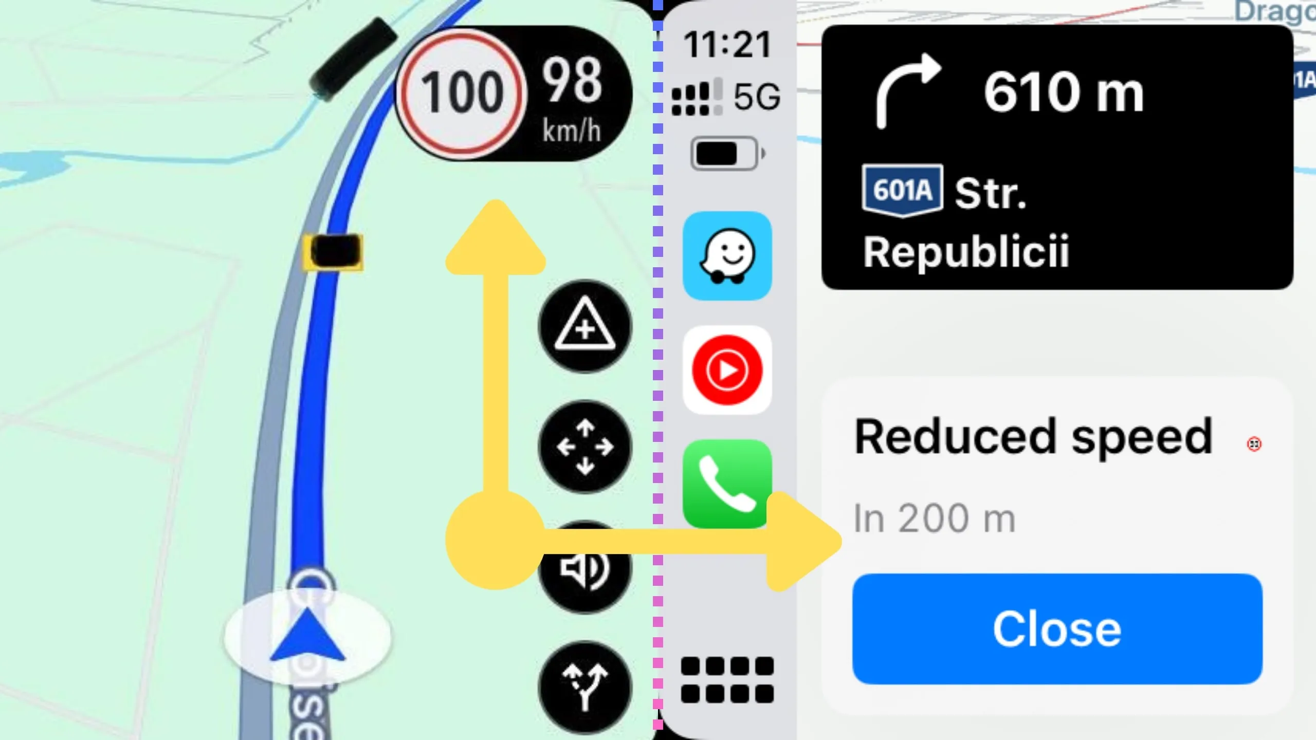
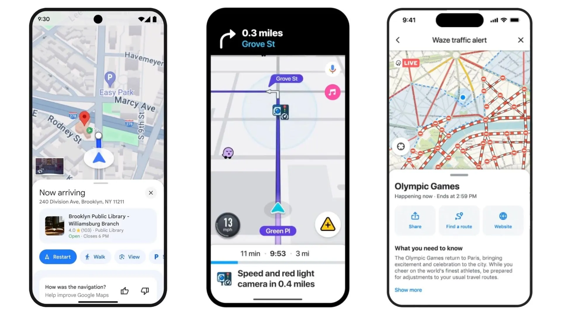
This feature allows Google Maps users to receive timely updates about nearby incidents, including law enforcement activities. These alerts appear briefly, maintaining the map’s clarity for ongoing navigation. The unique aspect of these notifications is their interactive nature; users can confirm or dismiss the alerts based on the current situation, thus contributing to the accuracy and relevance of the information shared within the community.
A Slow Yet Strategic Rollout
The integration of Waze incident reports into Google Maps has been a gradual process, with only a limited number of users currently experiencing the new feature. According to a post on the Maps subreddit highlighted by 9to5Google, these alerts are still under the radar, suggesting that the rollout is in its initial stages and its regional availability remains uncertain.
Leveraging a Decade of Synergy
Google’s acquisition of Waze over ten years ago set the stage for this integration. Despite operating as separate entities, the synergy between Google Maps and Waze has been evident, with both apps thriving under Google’s umbrella. The recent updates to Google Maps’ incident reporting, which broadened the scope from specific “speed traps” to general “police” presence, reflect a broader vision of creating a more interconnected and user-friendly navigation system.
Community and Real-Time Updates
The decision to merge insights from both Maps and Waze users into a single platform demonstrates Google’s commitment to leveraging community-driven data to improve road safety and navigation accuracy. The feature’s design, which encourages user interaction through quick confirmation buttons, ensures that the data remains fresh and reliable, empowering users to assist each other in real time.
Future Prospects and Integration
While full integration of, the ongoing enhancements indicates a growing overlap between the functionalities of the two platforms. This strategy not only improves the user experience but also reinforces the community aspect of navigation apps, where every user’s input can lead to safer and more efficient travel for all.
Google Maps’ integration of Waze’s incident alerts is more than just a technical update—it’s a step towards more collaborative, accurate, and user-friendly navigation. As this feature continues to roll out, it promises to enhance the way users interact with Google Maps, making road navigation safer and more responsive to real-world conditions. This evolution in navigation technology illustrates how big data and community engagement can transform everyday tools into more adaptive and anticipatory resources for millions of users.

