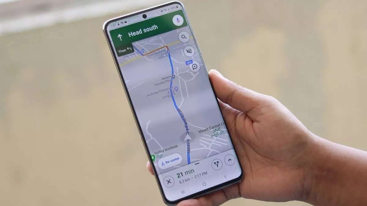
Google Maps is on the brink of revolutionizing how we navigate through urban landscapes, ensuring our journeys are not only seamless but also intuitive. The introduction of a new feature aimed at pinpointing the exact entry and exit points of buildings is a testament to Google’s commitment to enhancing user experience.
This innovation, currently under testing, promises to mitigate the common nuisances of urban navigation, setting a new standard in location-based services.

A Leap Towards Enhanced Navigation
Navigating to a new destination often comes with its fair share of challenges. From the perplexity of finding the right entrance to the frustration of circling buildings to locate an exit, Google Maps users have voiced their concerns. Addressing these, Google is now trialing a feature that marks a significant leap forward in urban navigation.
The feature, which showcases designated entry and exit points on the map, was spotted in Google Maps version 11.17.0101, being tested on a Google Pixel 7a device. Users can now see white circles marked with an entry symbol, clarifying the precise points of access to buildings.
This addition aims to enhance efficiency by eliminating confusion and allowing users to navigate directly to the correct part of a structure. The scope of this experiment spans various building types across multiple cities, including hotels, supermarkets, and restaurants.
Although the feature’s consistency and accuracy are still under refinement—especially for smaller buildings—the initial feedback suggests a promising horizon for more intuitive navigation solutions.
🌐Google Maps AI update! 📍
– Enhanced location insights.
– Curated city guides.
– Personalized lists feature.
– Sleek new interface.#GoogleMaps #AI #Travel #tech #ux pic.twitter.com/2cqI7Xdfba— Yelly (@Yelly1967984) March 28, 2024
Beyond Entry Points: A Broader Vision for Google Maps
The initiative to clarify building entrances and exits is part of a broader suite of updates designed to enrich the Google Maps experience. The platform has undergone significant transformations, receiving numerous features and updates aimed at offering a more comprehensive and accurate navigation experience.
One such recent update is the globally rolled-out Glanceable directions feature. This innovation allows users to access vital information, such as real-time estimated time of arrival (ETA) and turn-by-turn directions, directly on their lock screens.
Initially introduced in February, the feature has been quietly making its way to users worldwide, enhancing the convenience of navigation without the need to engage with the app actively. Moreover, the feature extends its utility beyond active navigation.
Users can monitor their journey using the route overview, even without starting with detailed directions. This proves particularly useful in familiar areas or when deviations from the planned route occur, with Maps automatically recalculating and adjusting the route preview.

The Road Ahead
While the building entrance and exit identification feature is still in its nascent stages, restricted to a limited user base and building selection, its potential impact on urban navigation is undeniable. Similar to the enhancements for public transport stations, identifying access points for buildings will significantly streamline the navigation process, leading users directly to their destinations without detours.
As Google Maps continues to evolve, these updates underscore the platform’s dedication to removing the friction from navigation, making every journey more straightforward and stress-free. With these advancements, Google Maps is not just a tool for getting from point A to point B but an indispensable companion for navigating the complexities of the modern urban environment.


