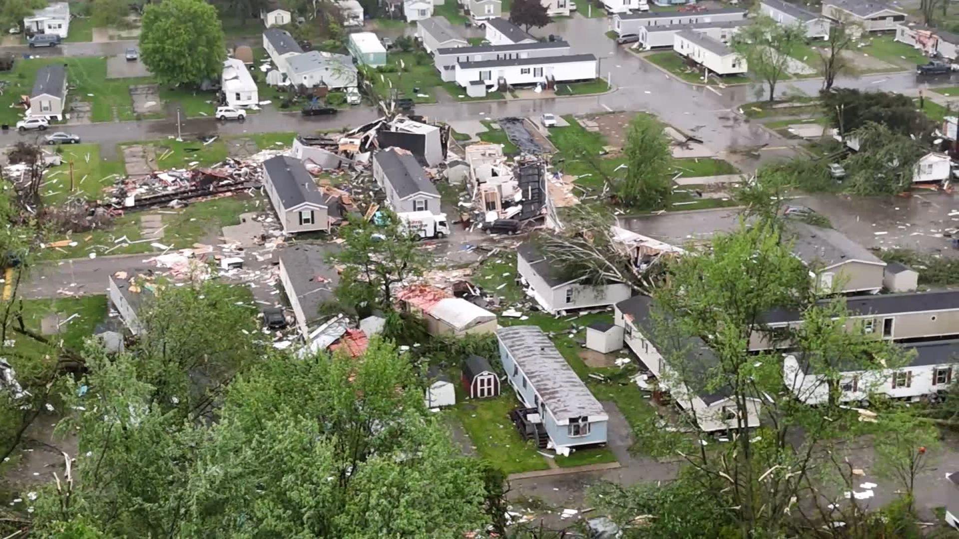
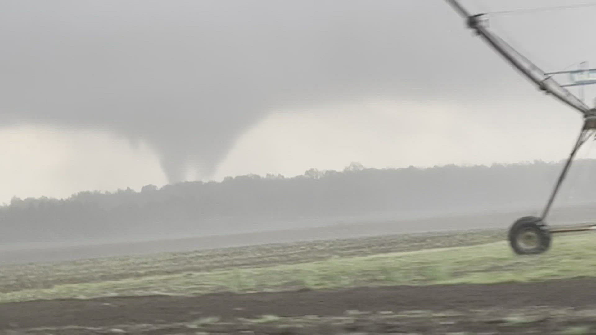
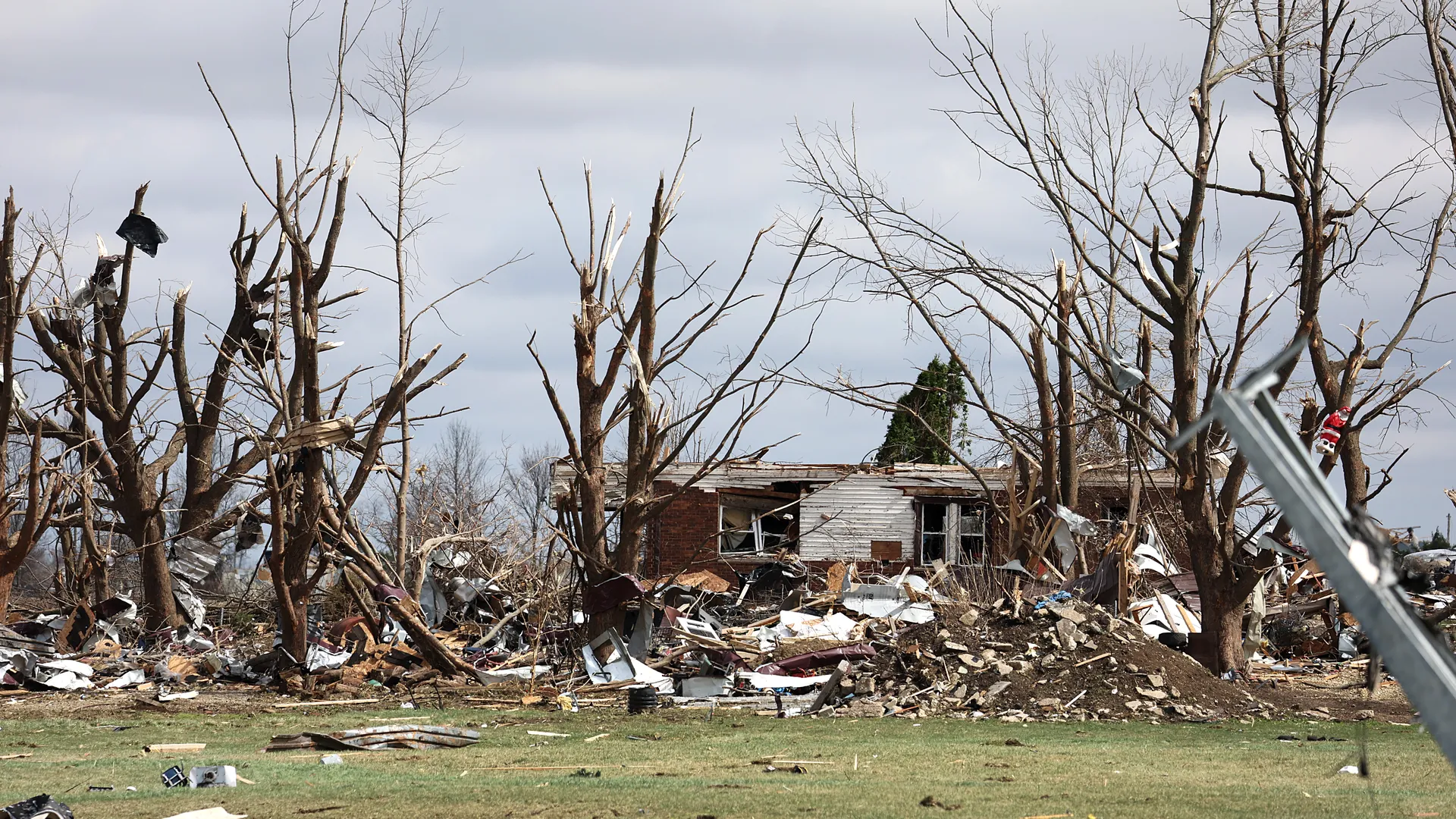
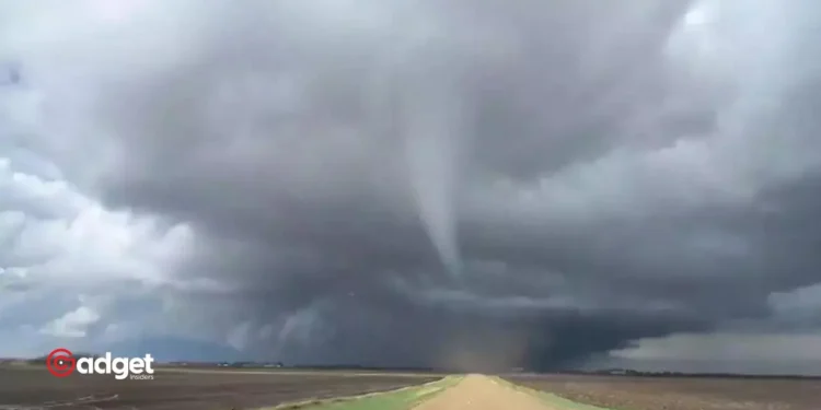
On a seemingly ordinary Wednesday, June 5th, Michigan faced a weather phenomenon that quickly turned tragic. Amid a line of intensifying thunderstorms, two tornadoes unexpectedly touched down. The most heart-wrenching of these was the Livonia tornado, which claimed the life of a young child and remarkably, occurred without a tornado warning from the National Weather Service (NWS).
Rich Pollman, the Meteorologist-In-Charge at the NWS Detroit, provided insights into why some tornadoes, like the one in Livonia, strike with little to no warning. “This wasn’t a classic supercell thunderstorm that typically produces a tornado. It was a spin-up tornado, where the rotation and touchdown happen simultaneously,” explained Pollman. Unlike the larger, more predictable tornadoes which show signs of rotation thousands of feet in the air well before making landfall, spin-up tornadoes present unique challenges for meteorologists.

The Challenge of Detecting Spin-up Tornadoes
The Livonia tornado developed at 3:30 p.m. and lasted a mere nine minutes, a brief lifespan that limited the NWS’s ability to respond. “The radar did show a small rotation at one point, but by the next scan, the tornado was dissipating,” said Pollman. The radar system, which completes a scan every four minutes, was not fast enough to track such a quickly vanishing tornado effectively.
Moreover, the tornado was “rain-wrapped,” making it invisible against the backdrop of heavy rain—a condition that often prevents the public from spotting and reporting these dangerous systems. Without public reports or visible signs of a tornado, the city of Livonia had no basis to activate warning sirens, a decision that likely impacted the community’s preparedness.

A Comparison with Other Tornadoes
Just earlier, a stronger EF2 tornado had struck Portland, Michigan, with ample warning time thanks to its more predictable behavior and visible signs of formation. This stark contrast underscores the unpredictable nature of tornadoes in Michigan, particularly those obscured by heavy rainfall or those that develop rapidly without typical precursors.
Pollman also highlighted geographical factors that make Michigan uniquely vulnerable. “Our state has many shallow-rooted trees that easily topple over during severe weather, adding to the hazard,” he noted. This natural scenery, while typically a point of state pride, can become a significant risk during storm seasons.

Michigan’s Tornado Tragedy: Advancing Weather Preparedness
The events of June 5th serve as a stark reminder of the capricious nature of severe weather and the limitations of current meteorological technology. Each storm brings valuable data that helps refine detection and warning systems, but as Pollman pointedly reminds us, “A non-tornadic severe thunderstorm can produce a tornado at any time.” This inherent unpredictability means that vigilance and preparedness are our best defenses against future meteorological threats.
As Michigan recovers and reflects on this tragic event, the conversation inevitably turns to how technology and community awareness can be improved to better predict and respond to these unpredictable natural disasters. The hope is that with each event, even those as brief and devastating as the Livonia tornado, we move closer to a system that can safeguard more lives against the sudden fury of nature.


