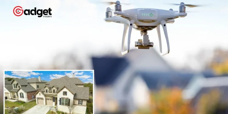
In the ever-evolving landscape of home insurance, U.S. insurers are adopting high-tech methods to assess and manage risks, with a particular focus on aerial drone photography. This approach, while innovative, has sparked controversy and concerns among homeowners and privacy advocates alike.
Mega-insurers like State Farm and Allstate are at the forefront of this trend, leveraging aerial images to make pivotal decisions on policy renewals and claims, fundamentally altering the traditional insurance assessment process.

The High-Tech Shift in Insurance Risk Assessment
The Rise of Aerial Surveillance
The task of monitoring America’s vast residential landscape is daunting, with over 144 million homes recorded in the 2022 census. This challenge has prompted the formation of the Geospatial Insurance Consortium (GIC), a collective that utilizes cutting-edge technology to provide crystal-clear aerial imagery.
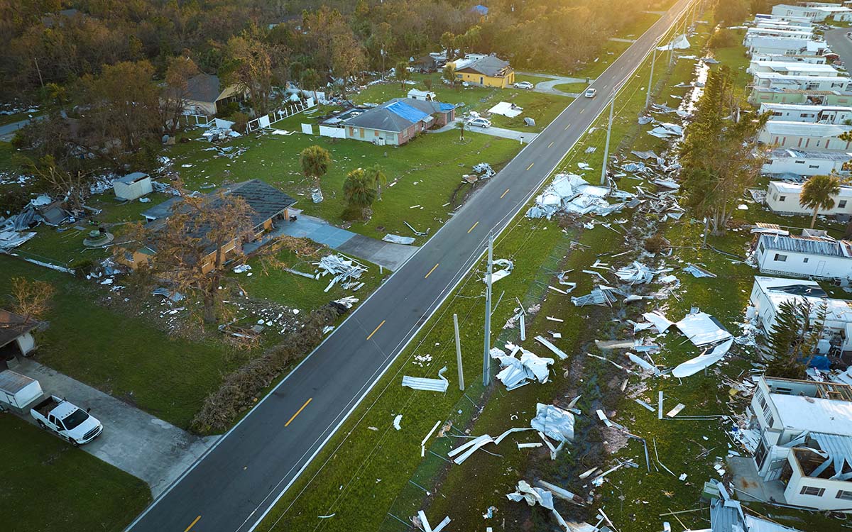
These images are not only used for standard property assessments but also play a crucial role in evaluating post-disaster damages—a task that has become increasingly vital as natural disasters grow more frequent due to climate change.
Home Insurance Companies Are Increasingly Dropping Customers Based on Images From Drones https://t.co/xEQxvcqTMv #Economy #Opinion
— Mary Griswold (@rightwinggrann1) April 8, 2024
Artificial Intelligence: The Unseen Analyst
Behind the scenes, artificial intelligence (AI) enhances the capability of these aerial surveys. In partnership with Vexcel, GIC boasts of AI’s prowess in analyzing aerial photographs for insurance purposes.
However, the reliance on AI and aerial images raises significant privacy and accuracy concerns, highlighted by instances where homeowners, like California’s Cindy Picos, faced policy cancellations based on potentially misleading drone photographs.
Despite an independent inspection vouching for her roof’s longevity, the insurer, CSAA Insurance, remained unmoved, demonstrating the contentious nature of remote assessments.

Controversies and Challenges: The Dark Side of Drone Usage
Privacy and Accuracy at Stake
The shift towards drone-based surveillance has ignited debates over privacy infringement and the reliability of remote assessments.
The case of Nichole Brink, who revealed her former employer Farmers Insurance’s practice of using outdated or inaccurately analyzed aerial photos to deny claims, underscores the potential pitfalls of this approach. Errors in interpretation, whether by humans or AI, can unjustly influence policy decisions, leaving homeowners in a precarious position.
The Regulatory Landscape and Consumer Protection
Despite the efficiency and cost-effectiveness of drone surveillance for insurance companies, the method’s fairness and legality are under scrutiny. Many states have laws in place to safeguard consumers, allowing policy denial only for justifiable reasons.
The reliance on aerial photography, especially when it results in questionable policy cancellations, challenges these consumer protections and raises ethical questions about the future direction of the insurance industry.

As the debate over drone usage in insurance continues, the industry stands at a crossroads. The potential for drones to revolutionize property assessments and disaster response is undeniable, yet the concerns over privacy, accuracy, and fairness remain significant hurdles.
As technology advances, insurers, regulators, and consumers must engage in a meaningful dialogue to ensure that the evolution of risk assessment practices serves the best interests of all parties involved.
In the quest for a balanced approach, the key may lie in developing standards that enhance transparency, improve the accuracy of aerial assessments, and protect homeowner rights. The future of home insurance may very well be written in the skies, but it must be grounded in trust, equity, and respect for privacy.


